Mountain-road free run
The finish is just the start
of the next winding road.
No laps on a mountain road, and no one to beat. From the moment you set off until you stop, the whole run’s distance, time, average and top speed and elevation gain stay on the watch.
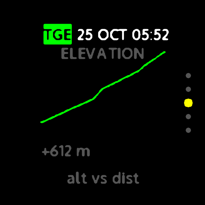
+612 m
Elevation gain
18.4
km
41
Avg km/h
Readings from an illustrative run
- One record for the whole run, no lapsDistance, average and top speed, peak G and elevation gain for the whole run — made for driving straight through.
- Lateral G through the cornersThe left side of the live screen shows cornering G: orange to the right, cyan to the left, grey within 0.1 G.
- Three live layoutsDashboard, G-G friction circle or elevation profile; your choice applies from the next session.
- Elevation profile and total gainLooking back, you see distance, time, average and top speed first, then the route map, then the elevation profile and total gain.
- Start and finish protected when you shareWhen you export a track from the app, mountain-road sessions leave out everything within 300 m of the start and finish by default.
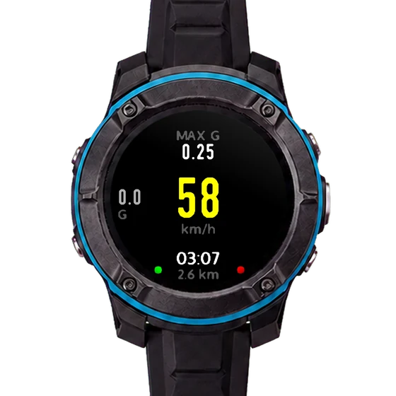
Watch screen illustrative · live
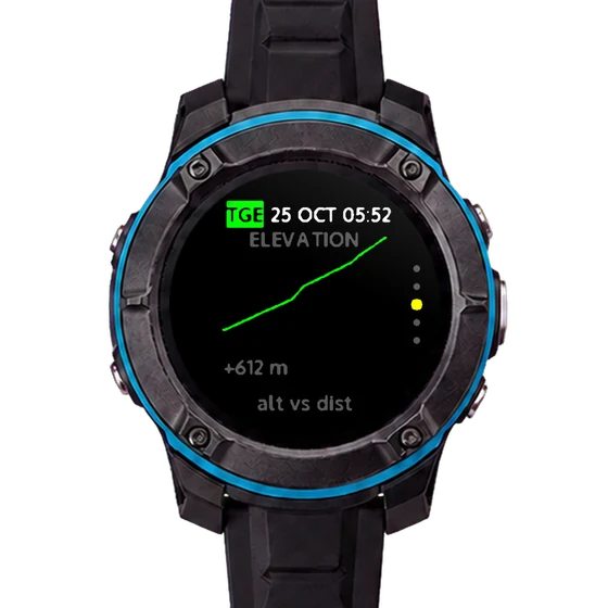
Watch screen illustrative · elevation profile
Mountain roads are public roads. Keep to the speed limit and traffic rules, and do not operate the watch while driving.